En
Log in
All resources
Create a design
Tools
7,170 Free Images of Atlas Map
gemeente atlas van nederland - north brabant
national library of poland
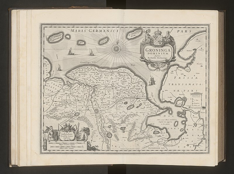
gemeente atlas van nederland - groningen
atlas ou representation du monde universel t. 2 (1633)
maps by hendrik hondius the younger
atlas van loon
maps by willem and johannes blaeu
joan blaeu
piet schipperus
maps by jan janssonius
atlas ou representation du monde universel t. 2 (1633)
maps by hendrik hondius the younger
atlas ou representation du monde universel t. 2 (1633)
17th-century maps of chile
atlas ou representation du monde universel t. 2 (1633)
maps by hendrik hondius the younger
atlas ou representation du monde universel t. 2 (1633)
maps by hendrik hondius the younger
atlas ou representation du monde universel t. 2 (1633)
maps by hendrik hondius the younger
avignon in the 17th century
atlas van loon
leonardus schweickhardt
maps of ameland
maps by willem and johannes blaeu
atlas van loon
atlas maior, vol 3 (germany) - joan blaeu, 1667 - bl 114.h(star).3
celeberrimi fluvii albis nova delineatio by willem janszoon blaeu
gemeente atlas van nederland - north brabant
maps of woudrichem
old maps of guizhou
maps from gallica
maps by willem and johannes blaeu
17th-century maps of the world
gemeente atlas van nederland - limburg
maps of tegelen
maps of het gooi
piet schipperus
old maps of amersfoort
piet schipperus
maps of gaasterland
piet schipperus
maps by john cary
1801 maps
atlas ou representation du monde universel t. 2 (1633)
old maps of groningen (province)
atlas ou representation du monde universel t. 2 (1633)
maps of the duchy of mantua
atlas ou representation du monde universel t. 2 (1633)
maps by hendrik hondius the younger
atlas ou representation du monde universel t. 2 (1633)
17th-century maps of silesia
atlas ou representation du monde universel t. 2 (1633)
17th-century maps of bermuda
atlas ou representation du monde universel t. 2 (1633)
17th-century maps of paraguay
atlas ou representation du monde universel t. 2 (1633)
1633 maps of africa
atlas ou representation du monde universel t. 2 (1633)
old maps of east frisia
atlas ou representation du monde universel t. 2 (1633)
maps by hendrik hondius the younger
atlas ou representation du monde universel t. 2 (1633)
maps by jan janssonius
atlas ou representation du monde universel t. 2 (1633)
maps by jan janssonius
atlas ou representation du monde universel t. 2 (1633)
maps by hendrik hondius the younger
atlas ou representation du monde universel t. 2 (1633)
17th-century maps of peru
atlas ou representation du monde universel t. 2 (1633)
maps of the duchy of milan
atlas ou representation du monde universel t. 2 (1633)
old maps of nassau
maps by john cary
1801 maps
map of maastricht by willem and johannes blaeu (1649)
first medieval city wall of maastricht
gemeente atlas van nederland - north brabant
maps of megen
gemeente atlas van nederland - north brabant
alphen, north brabant
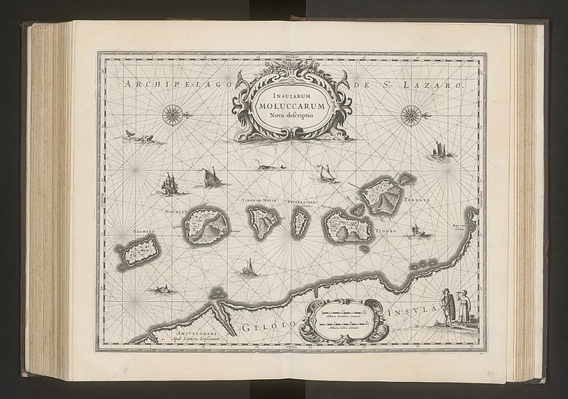
maps of the malay archipelago by mercator-hondius
maps by willem and johannes blaeu
old maps of gelderland
maps from university of amsterdam special collections
atlas der neederlanden
gemeente atlas van nederland - north brabant
rijswijk, north brabant
vrbivm praecipvarvm totivs mvndi liber tertivs (1616)
maps of walcourt by braun & hogenberg
atlas maior, vol 2 (sweden, russia, poland, eastern europe, and greece) - joan blaeu, 1667 - bl 114.h(star).2
copper engraving print
gemeente atlas van nederland - north brabant
maps of sint-oedenrode
gemeente atlas van nederland - north brabant
maps of berghem
gemeente atlas van nederland - north brabant
maps of drunen
gemeente atlas van nederland - groningen
maps of zuidbroek
gemeente atlas van nederland - north brabant
maps of helmond
gemeente atlas van nederland - groningen
maps of hoogkerk
gemeente atlas van nederland - overijssel
maps of dalfsen
gemeente atlas van nederland - groningen
maps of finsterwolde
gemeente atlas van nederland - north brabant
maps of lith
gemeente atlas van nederland - north brabant
maps of bergeijk
old maps of zutphen
atlas van loon
gemeente atlas van nederland - north brabant
maps of gemert
gemeente atlas van nederland - groningen
maps of delfzijl
gemeente atlas van nederland - groningen
maps of wildervank
gemeente atlas van nederland - north brabant
maps of zevenbergen
gemeente atlas van nederland - overijssel
maps of ijsselmuiden
gemeente atlas van nederland - groningen
maps of stedum
gemeente atlas van nederland - north brabant
maps of oirschot
gemeente atlas van nederland - groningen
maps of wedde
gemeente atlas van nederland - north brabant
maps of princenhage
gemeente atlas van nederland - groningen
maps of sappemeer
gemeente atlas van nederland - north brabant
maps of waspik
gemeente atlas van nederland - groningen
maps of aduard
gemeente atlas van nederland - groningen
maps of midwolda
gemeente atlas van nederland - groningen
maps of warffum
gemeente atlas van nederland - north brabant
maps of dongen
gemeente atlas van nederland - groningen
maps of usquert
gemeente atlas van nederland - north brabant
maps of nieuwkuijk
atlas schoemaker-noord-holland, waterland
maps of polders in north holland
atlas schoemaker-noord-holland
maps of meeresteijn
map of maastricht by willem and johannes blaeu (1649)
grote gracht (maastricht)
maps from university of amsterdam special collections
atlas der neederlanden
bibliothèque nationale de france
maps by thomas kitchin
vrbivm praecipvarvm totivs mvndi liber tertivs (1616)
maps of venlo by braun & hogenberg
gemeente atlas van nederland - north brabant
maps of asten, netherlands
gemeente atlas van nederland - groningen
maps of grootegast
gemeente atlas van nederland - north brabant
maps of woensdrecht
gemeente atlas van nederland - groningen
maps of ezinge
gemeente atlas van nederland - north brabant
maps of eersel
gemeente atlas van nederland - groningen
maps of middelstum
gemeente atlas van nederland - north brabant
maps of boxmeer
gemeente atlas van nederland - groningen
maps of uithuizermeeden
gemeente atlas van nederland - groningen
maps of muntendam
gemeente atlas van nederland - north brabant
maps of waalwijk
gemeente atlas van nederland - north brabant
maps of klundert
gemeente atlas van nederland - groningen
maps of ulrum
gemeente atlas van nederland - north brabant
maps of terheijden
gemeente atlas van nederland - north brabant
maps of waalre
gemeente atlas van nederland - groningen
maps of kantens
gemeente atlas van nederland - groningen
maps of baflo
gemeente atlas van nederland - north brabant
maps of cromvoirt
gemeente atlas van nederland - north brabant
maps of oisterwijk
gemeente atlas van nederland - north brabant
maps of boxtel
gemeente atlas van nederland - utrecht
maps of lopik
gemeente atlas van nederland - overijssel
maps of bathmen
gemeente atlas van nederland - groningen
maps of adorp
gemeente atlas van nederland - limburg
maps of nederweert
gemeente atlas van nederland - groningen
maps of bellingwolde
3601 - 3700 of 7,170
Next page
/ 72